A hand-etched map of Virginia with modern geography and illustrations of important people, places, events, and natural features in Virginia's early history. Illustrations include: Jamestown, Colonial Williamsburg, The Surrender at Yorktown (with the French naval fleet), George Washington's Mount Vernon, Thomas Jefferson's Monticello, Summitting the Blue Ridge Mountains, Great Falls, and Natural Bridge. The map cartouche features great early leaders of Powhatan and Christopher Newport, and the key to the Bastille.
Fine Art Print paper sizes: 18”x24” or 11"x14" , with 1/8” border on all sides
Original Editions paper size: about 19”x25” due to the deckle edge
Frame size: 24”x31” - black and gold frame with map floating on a Hunter Green matte and Museum Glass.


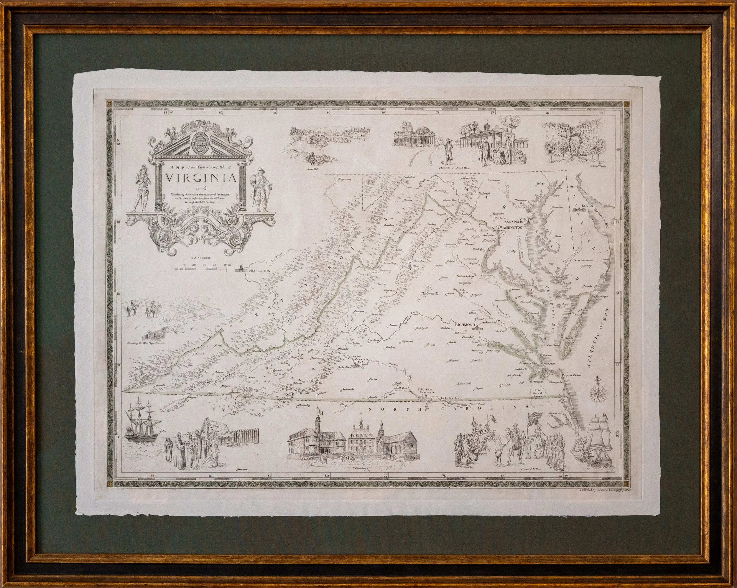 Image 1 of 8
 Image 2 of 8
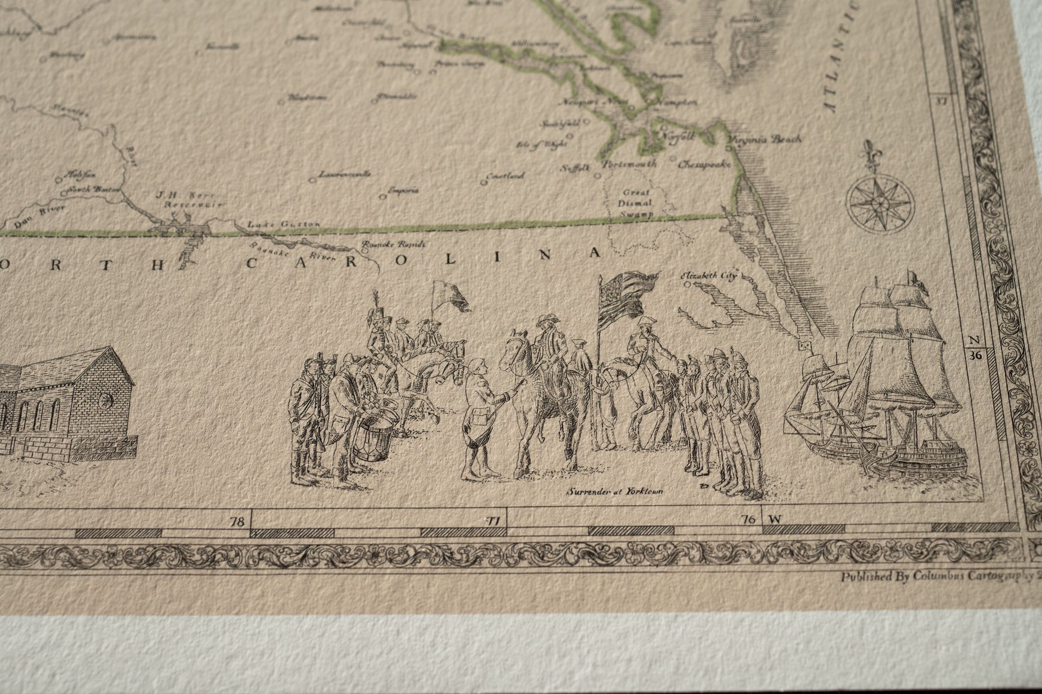 Image 3 of 8
 Image 4 of 8
 Image 5 of 8
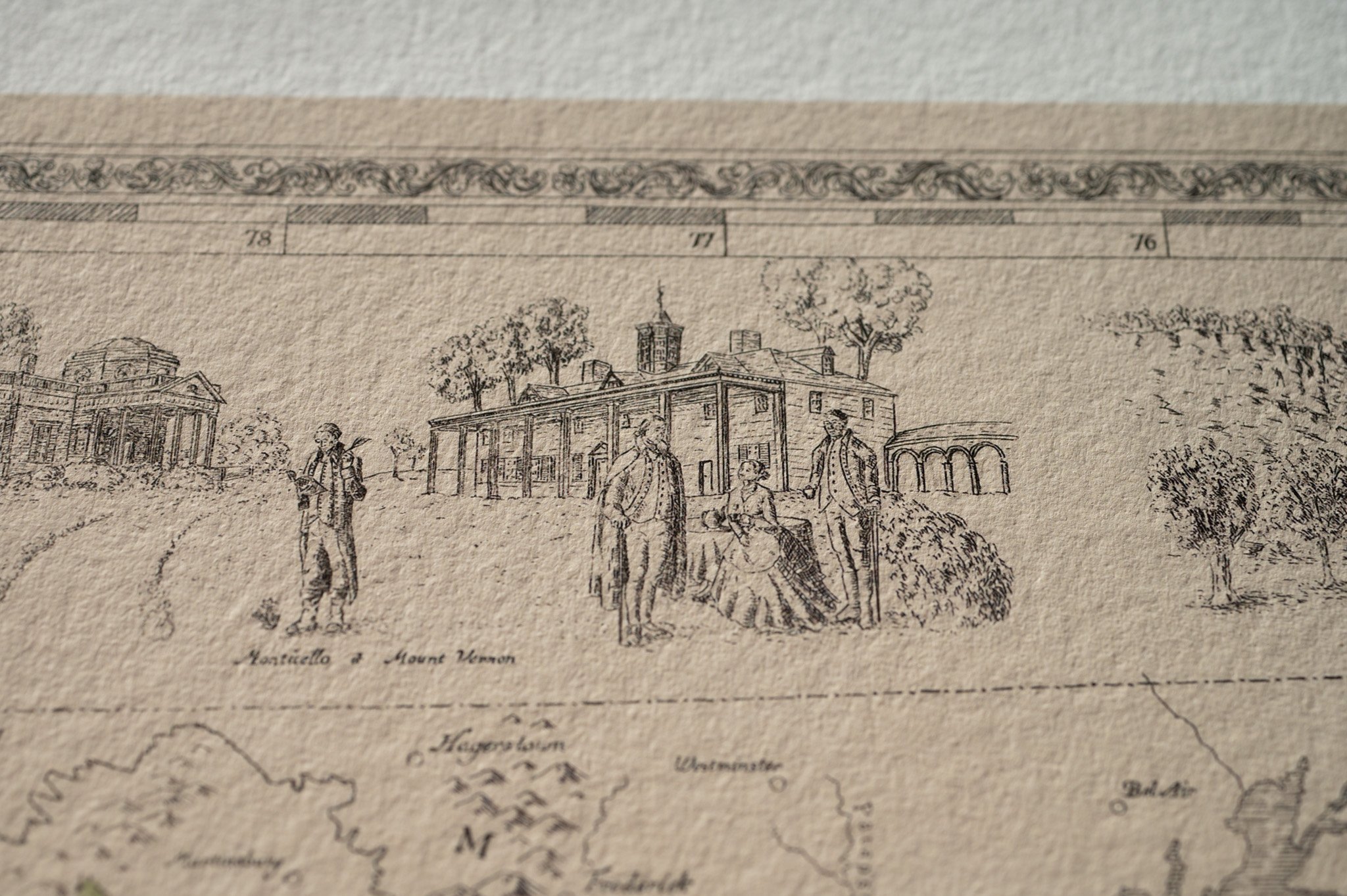 Image 6 of 8
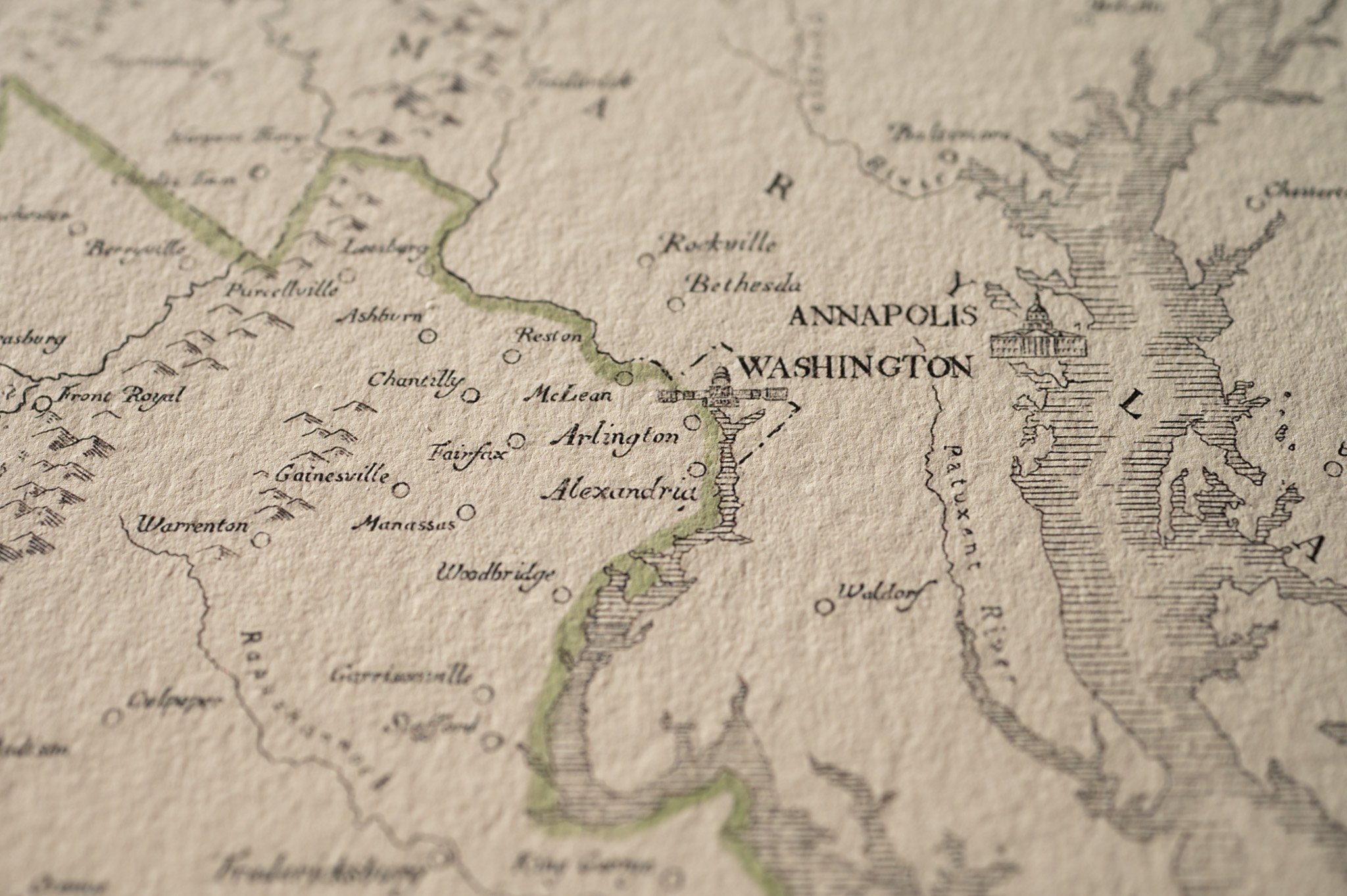 Image 7 of 8
 Image 8 of 8